Landforms of South America

The Paraná Plateau: A Continent-Wide Legacy of Gondwana's Fire

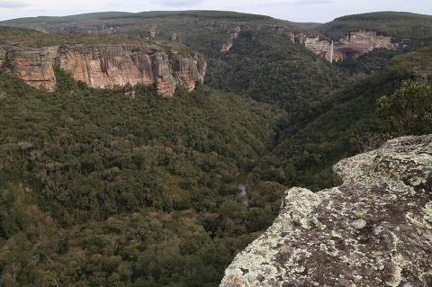
The Paraná Plateau is a vast basalt tableland spanning southern Brazil, eastern Paraguay, northeastern Argentina, and northern Uruguay, formed by one of the largest volcanic eruptions in Earth's history. Its fertile soils, dramatic waterfalls, and hydroelectric resources make it one of South America's most important landforms. Its history is tied to Gondwana's breakup, the soils that fueled Brazil's coffee and soy economies, and two famous waterfalls—one still thundering, the other submerged beneath a reservoir.
The Paraná River: Lifeblood of South America

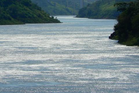
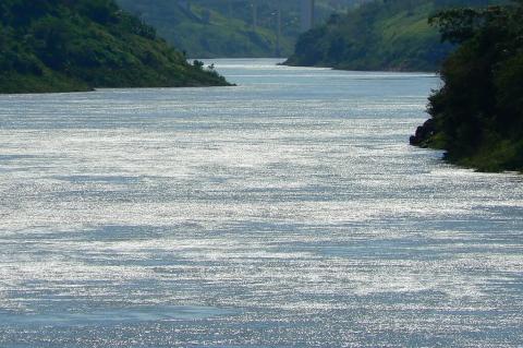
The Paraná River is an extraordinary natural feature, the second-longest river in South America after the Amazon. It traverses Brazil, Paraguay, and Argentina. Originating in southern Brazil, the Paraná River flows generally southward until it merges with the Uruguay River to form the Río de la Plata at the border of Argentina and Uruguay. This extensive river system and its encompassing basin play crucial roles in the region's environmental, economic, and cultural landscapes.

The Paranapanema River: From Source to Confluence

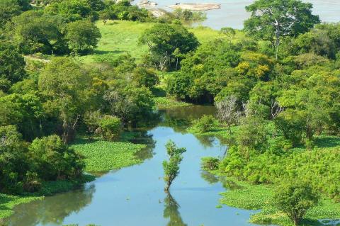
The Paranapanema River is one of the most significant rivers in southeastern Brazil. Originating in the Serra do Paranapiacaba and flowing westward until it meets the Paraná River, it traverses a rich and varied landscape. It is a crucial water source for numerous ecosystems and a vital component of the region’s economy, supporting agriculture, hydropower, and local communities.

The Parima Mountains: A Natural and Cultural Frontier in South America

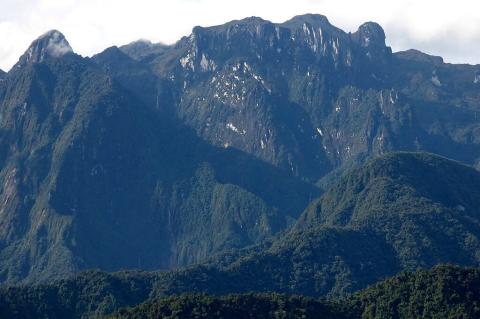
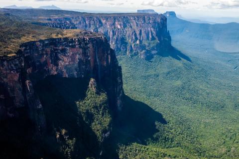
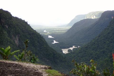
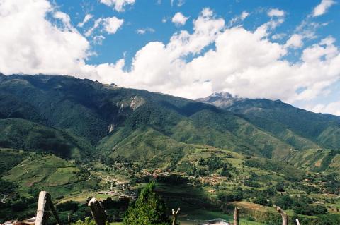
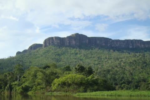
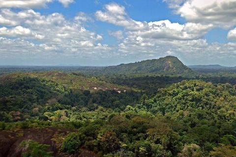
The Parima Mountains, located on the border of Venezuela and Brazil, are a remote and ecologically rich region. They are part of the Guiana Shield and are significant due to their untouched beauty, biological diversity, and role as the source of the Orinoco River. The mountains hold deep cultural significance as the homeland of Indigenous peoples, particularly the Yanomami, yet they remain largely hidden from the world's view.

The Patagonian and Fuegian Andes: Spine of the World's End

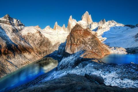
Rising from the steppes of southern Argentina and Chile, the Patagonian and Fuegian Andes form a spectacular and complex mountain system. This southern extension of the Andean chain features dramatic landscapes, towering granite spires, ancient ice fields, and active volcanic peaks. These mountains serve as a living laboratory of planetary processes, a refuge for unique ecosystems, and a testament to the powerful natural forces that have shaped our world.

The Patuca River: Lifeline of Eastern Honduras

The Patuca River is the longest and most significant river in Honduras. It flows from the mountains of central Honduras to the Caribbean Sea and shapes the geography, ecology, and culture of the eastern region of the country. The river supports a wide array of ecosystems and human settlements. Despite its ecological importance, the river faces challenges from deforestation, hydroelectric projects, and climate change.

The Peru-Chile Trench: South America's Deepest Frontier and the Bolivian Orocline

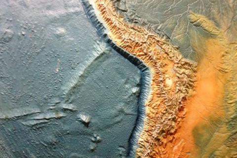
Along South America's western coast lies one of Earth's most spectacular geological features. The Peru-Chile Trench represents the deepest oceanic depression in the South Pacific and serves as the active collision zone where the Nazca Plate slides beneath the South American continent. This submarine canyon, intertwined with the dramatic coastal bend known as the Bolivian Orocline, tells a story of planetary-scale forces that have sculpted the Andes Mountains and continue to shape one of the world's most geologically active regions.

The Peruvian Andes: Peru's Sierra Region Where Earth Touches Sky

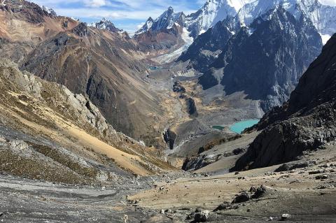
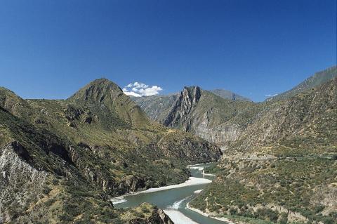
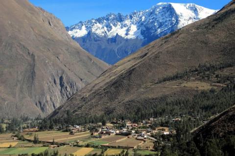
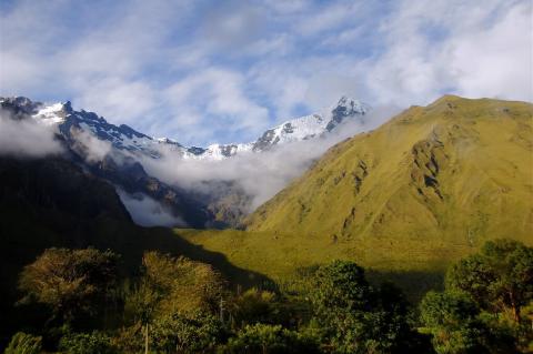
Rising from the Pacific plains to the Amazon Rainforest, Peru's Sierra is one of Earth's most spectacular mountain systems. This vast highland area, the Peruvian section of the Andes, runs through the country like a geological spine, influencing its landscape, climate, biodiversity, and cultural heritage. The region is mainly characterized by three main cordilleras, or mountain ranges, each with unique geological traits, climate conditions, and ecological systems.

The Pilcomayo River: A Lifeline Traversing South America

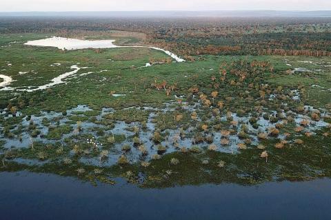
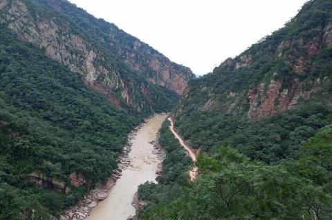
Winding its way through the heart of South America, the Pilcomayo River stands as a vital watercourse that interweaves the landscapes and ecosystems of Argentina, Bolivia, and Paraguay. Originating from the Andes, this remarkable river embarks on a journey that not only shapes the physical terrain but also sustains a rich tapestry of biodiversity, leaving an indelible mark on the diverse regions it traverses.

The Río de la Plata: A Confluence of Majesty

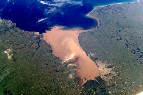
Carving a vast and imposing presence along the southeastern coastline of South America, the Río de la Plata stands as a monumental estuary and drainage basin, a tapering intrusion of the Atlantic Ocean stretching its embrace between Uruguay and Argentina. This immense waterway, often regarded as a gulf, a marginal sea, or even the world's widest river, is a testament to the continent's awe-inspiring natural grandeur.