Landforms of South America

The Enigmatic Waters of Lake O'Higgins: A Natural Wonder of Patagonia

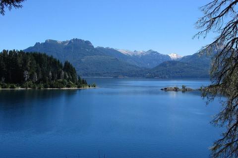
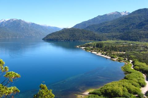
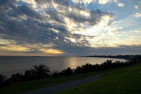
Nestled deep within the rugged wilderness of Patagonia, Lake O'Higgins is one of the most breathtaking and remote bodies of water in South America. Straddling the border between Chile and Argentina, it is known as Lake San Martín in Argentina, reflecting the intertwined histories of both nations. Renowned for its striking turquoise waters, immense depth, and dramatic fjords, it is a natural masterpiece shaped by glacial activity and the relentless forces of the Patagonian climate.
The Galápagos Archipelago: Conservation, Challenges, and Evolutionary Marvels

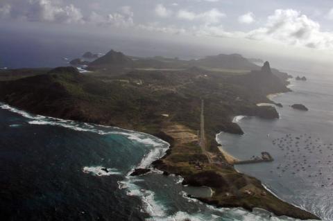
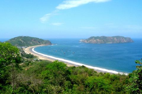
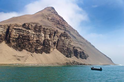
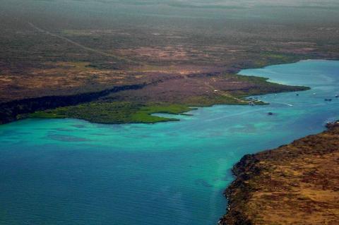
The Archipiélago de Colón, more widely known as the Galápagos Islands, is an archipelago in the Pacific Ocean west of Ecuador's coast. These islands are renowned for their unique biodiversity and pivotal role in developing the theory of evolution by natural selection, proposed by Charles Darwin. The islands, encompassing the Galápagos Province, the Galápagos National Park, and the Galápagos Marine Reserve, represent one of the planet's most important and unique ecological areas.

The Guaraní Aquifer System: South America's Hidden Ocean and the Future of Freshwater Security

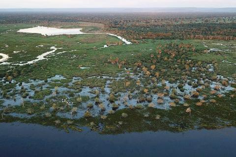
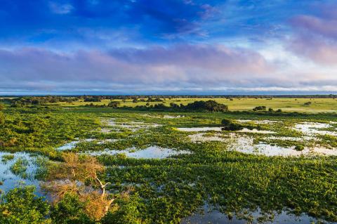
Deep beneath four South American nations lies the Guaraní Aquifer System (GAS), one of Earth's most remarkable geological treasures. Spanning 1.2 million square kilometers of Argentina, Brazil, Paraguay, and Uruguay, it creates an underground hydrological empire rivaling the Mediterranean Sea. Named after the Indigenous Guaraní people, this aquifer system represents far more than a simple water source—it embodies the interconnected destiny of four nations and serves as a critical bulwark against regional water insecurity in an era of climate uncertainty.

The Guiana Shield: A Billion-Year Legacy of Stone and Life

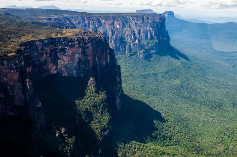
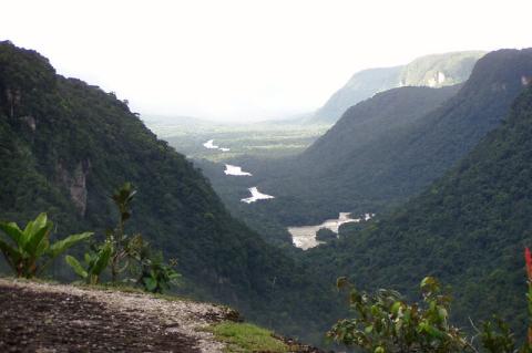
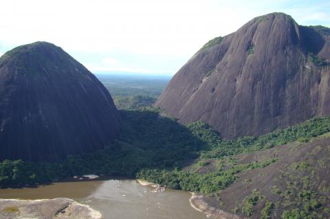
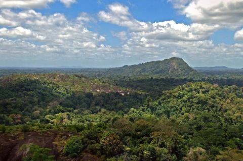
Draped across the northeastern corner of South America, the Guiana Shield stands as a profound testament to Earth's deep history. Forged in the Precambrian eon, dating back an astonishing 1.7 billion years, this ancient geological formation forms a stable craton, a foundational block of the South American Plate, shaping the bedrock and landscapes of Guyana, Suriname, French Guiana, Venezuela, Colombia, and Brazil.

The Icy Giants of the Colombian Andes: Exploring the Sierra Nevada de Güicán, El Cocuy, and Chita

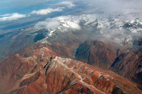
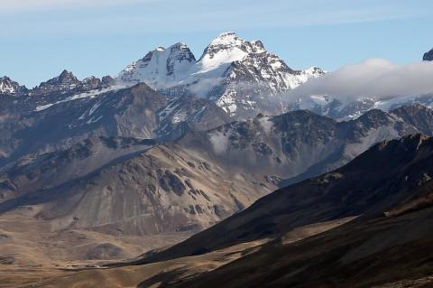
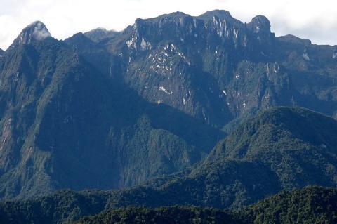
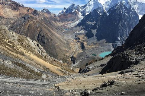
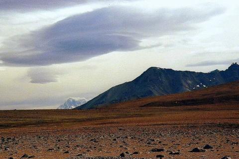
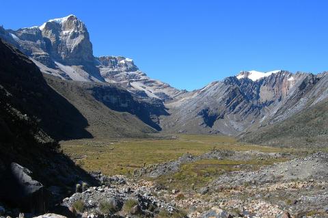
The Sierra Nevada de Güicán, El Cocuy, and Chita is a breathtaking range within the Andes Mountains of Colombia. This range, known for its stunning snow-capped peaks and glacial landscapes, is Colombia's largest glacial mass and the largest in South America north of the equator. This range holds deep cultural significance for the indigenous U'wa people and is a haven for biodiversity. Its awe-inspiring beauty and ecological and cultural importance make it one of Colombia's most treasured natural landmarks.

The Iguazú River: A Natural Wonder of South America

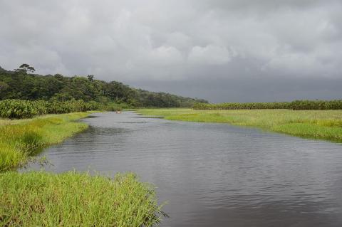
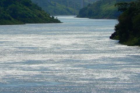
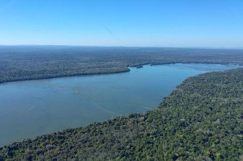
The Iguazú River is one of South America's most consequential waterways, not only for the world-famous falls that bear its name but for the long course it travels beforehand through the landscapes of Brazil and Argentina. Originating in the Serra do Mar coastal range, the river winds westward for well over a thousand kilometers, supporting diverse ecosystems and regional communities, before culminating in the dramatic cascades of Iguazú Falls.

The Madeira River: From the Bolivian Lowlands to the Amazon

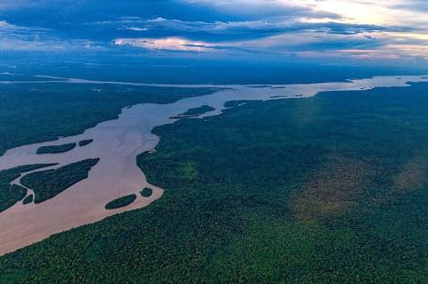
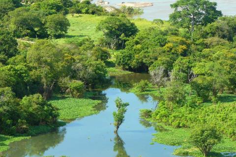
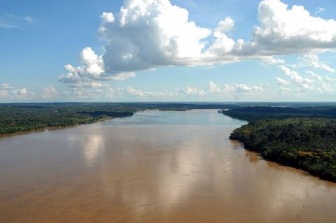
The Madeira River, formed by the Beni and Mamoré in Bolivia, travels about 1,450 km (900 mi) to the Amazon, or roughly 3,300 km (2,050 mi) counting the Mamoré. It drains about 1.38 million km² (533,000 mi²) of Bolivia, Brazil, and Peru, carries vast Andean sediment, and hosts one of the world’s richest fish faunas, now challenged by hydroelectric dams, drought, and illegal gold mining.

The Madre de Dios River: Peru’s Southern Amazon Artery

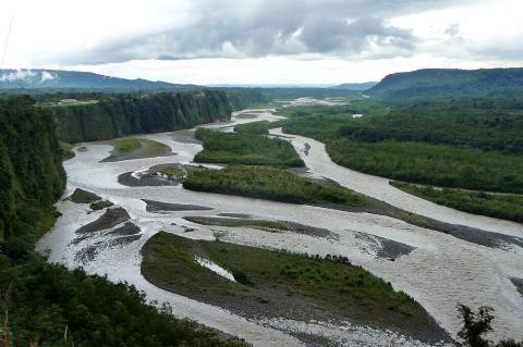
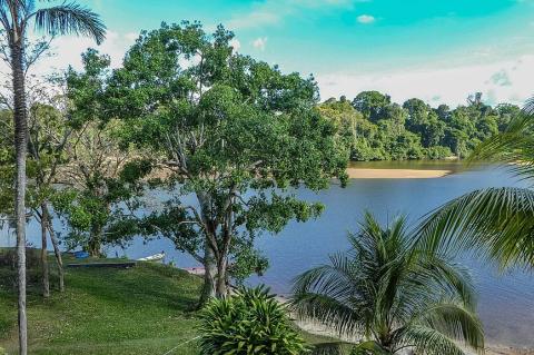
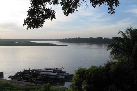
Rising in the eastern Andes of southern Peru, the Madre de Dios River runs roughly 1,100 to 1,350 km through some of Earth’s most biodiverse forests before joining the Beni in Bolivia, with the combined waters flowing on to the Madeira. Manú National Park, Tambopata National Reserve, and Bahuaja-Sonene National Park protect much of its course, and Ese Eja, Harakbut, Matsigenka, and Yine communities live along it. Puerto Maldonado is its main city, and rubber, a paved highway, and gold mining have reshaped its banks.

The Magdalena River and Basin: Colombia's Lifeline

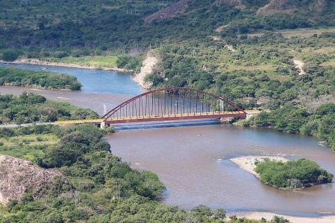
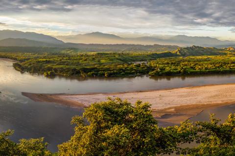
Flowing gracefully through the heart of Colombia, the Magdalena River is the country's principal waterway, weaving from the towering peaks of the Andes to the shores of the Caribbean Sea. Carving a path through diverse landscapes and ecosystems, this mighty river and its expansive basin serve as Colombia's lifeblood, nurturing vibrant communities, sustaining vital ecosystems, and running through the center of the nation's history and literature.

The Maipo River: Lifeline of Central Chile

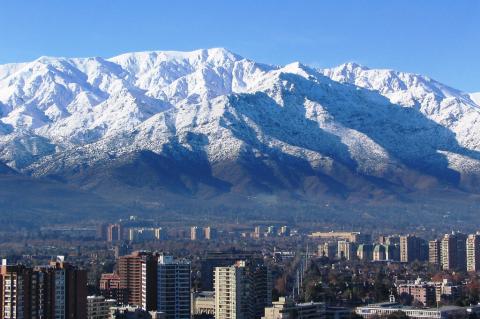
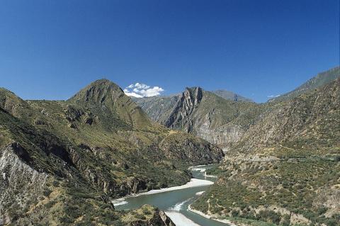
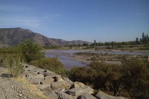
The Maipo River flows from the western slopes of the Andes to the Pacific Ocean, providing approximately 80% of Santiago's freshwater supply for seven million people. The river's basin contains more than 800 glaciers that store critical water during dry summer months. However, climate change has driven dramatic glacier retreat. This vital river system faces mounting pressures from prolonged drought, urban expansion, and agricultural demands, threatening water security for millions while supporting agriculture and industry.