Landforms of South America

Serra do Espinhaço Biosphere Reserve: Brazil's Ancient Backbone of Grasslands and Gold

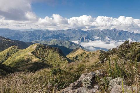
The Serra do Espinhaço runs 1,100 to 1,200 kilometers north to south through Minas Gerais and Bahia, dividing the upper São Francisco basin from rivers that flow to the Atlantic. UNESCO recognized its southern portion as a biosphere reserve on June 27, 2005, covering more than 3 million hectares. Pico do Sol reaches 2,072 meters, rupestrian grasslands hold exceptional plant endemism, and Ouro Preto, Congonhas, and Diamantina preserve its colonial mining heritage. Mining and fire are key threats.

Serra do Mar: Brazil's Emerald Escarpment

Along Brazil's southeastern Atlantic coast, where the azure ocean meets the verdant mountains, rises one of South America's most spectacular geological formations. The Serra do Mar stretches for approximately 1,500 kilometers, forming a dramatic backdrop that has shaped both the landscape and the destiny of Brazil. From the misty highlands of Espírito Santo in the north to the rugged coastlines of Santa Catarina in the south, this ancient mountain system forms an almost continuous barrier between Brazil's interior plateau and the Atlantic Ocean.

Serra dos Órgãos: An Ecological Jewel of Brazil's Atlantic Forest

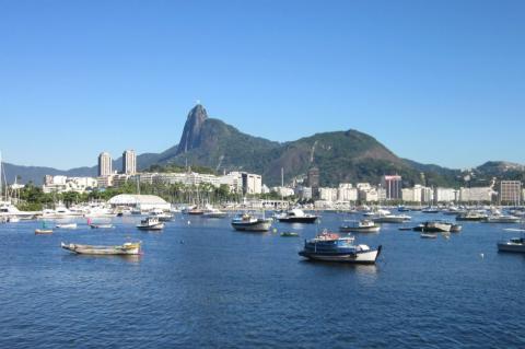
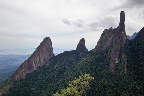
Rising majestically from Rio de Janeiro's coastal plains, the Serra dos Órgãos offers one of Brazil's most spectacular mountain landscapes. Named for its granite spires resembling cathedral organ pipes, this range is part of the Serra do Mar system, creating a dramatic backdrop that has fascinated visitors and scientists for centuries. From the bustling metropolis of Rio de Janeiro, these peaks appear as mystical silhouettes against the sky, their jagged profiles like ancient monuments to Brazil's geological forces.

Sierra de Córdoba: Argentina's Majestic Mountain Range

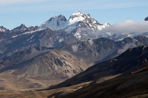
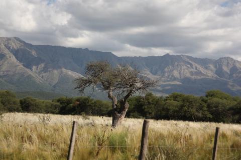
The Sierra de Córdoba is one of Argentina's most significant mountain ranges, stretching across the country's central region. Located primarily in Córdoba Province, it forms part of the larger Sierras Pampeanas system. Characterized by rolling hills, deep valleys, and rugged peaks, the range is a vital ecological and cultural region. Its rich biodiversity, historical significance, and economic contributions make it an essential natural landmark in Argentina.

South Orkney Islands: A Nexus of Science and Sovereignty

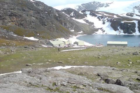
The South Orkney Islands are a remote archipelago in the Southern Ocean, significant for their ecology, historical exploration, scientific research, and international governance. They are located northeast of the Antarctic Peninsula and surrounded by biologically diverse and climatically important waters. Their glaciated landscapes, unique ecosystems, and pivotal place in global climate studies underscore their importance as more than just frozen outposts in the Southern Ocean.
Tenorio Volcano National Park: A Haven for Wildlife and Volcanic Wonders

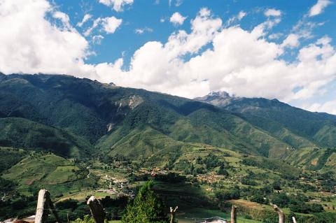
Tenorio Volcano is a striking natural landmark in Costa Rica's rugged Cordillera de Guanacaste. This towering volcano consists of four volcanic peaks and two craters, one of which is known as Montezuma Volcano. Tenorio symbolizes the geological and ecological richness of Costa Rica's volcanic landscapes. As the centerpiece of Tenorio Volcano National Park, this volcano and its surrounding area offer an array of natural wonders, from vibrant blue rivers to diverse ecosystems teeming with wildlife.
The Altiplano Cundiboyacense: Ancient Territory of the Muisca Civilization

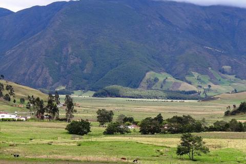
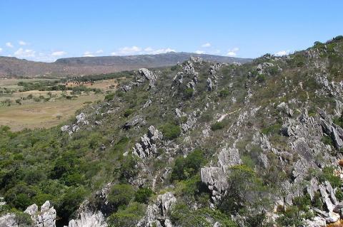
The Altiplano Cundiboyacense is a high plateau in the Colombian Andes, spanning the departments of Cundinamarca and Boyacá. It is the birthplace of the Muisca civilization, whose influence on Colombian culture and the environment is still felt today. The region is renowned for its natural beauty and rich history, which continues to fascinate and inspire people worldwide.

The Altiplano—Puna Volcanic Complex: Unveiling Geological Marvels in South America

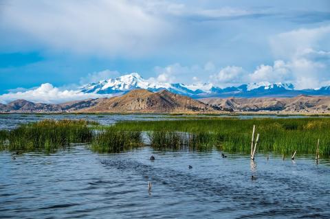
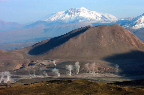
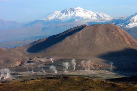
The Altiplano—Puna volcanic complex is a testament to the awe-inspiring geological processes shaping the southern portion of the Altiplano—Puna plateau in the central Andes. It spans Argentina, Bolivia, and Chile and was formed when the Nazca Plate subducted beneath the South American Plate. The complex boasts diverse volcanic features and is the largest active magma reservoir. Scientific exploration continues to unravel the region's geological history, revealing insights into subterranean processes.

The American Cordillera and the Continental Divide: A Geographical Backbone Shaping the Americas

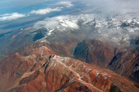
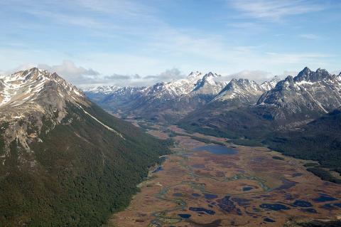
Few geographical features illustrate the interconnectedness of an entire hemisphere as clearly as the American Cordillera, the nearly unbroken chain of mountains running along the western edge of North, Central, and South America from Alaska to the southern tip of Tierra del Fuego. Stretching more than 20,000 km, it ranks among the longest mountain systems on Earth, and its segments carry different regional names even though they form a single, geologically continuous backbone.

The Andean Volcanic Belt and the Pacific Ring of Fire: Unveiling Earth's Geological Marvels

The Andean Volcanic Belt, along South America's western coast, forms as the Nazca and Antarctic plates subduct beneath the South American Plate. This process generates various volcanic zones, illustrating the intricate interplay of Earth's crustal plates. The belt showcases diverse geological phenomena, from the hazards in the Northern Volcanic Zone to the silicic systems in the Central Volcanic Zone and the glaciated stratovolcanoes in the Austral Volcanic Zone.