Landforms of South America

The Antarctic Plate: Guardian of the Southern Ocean

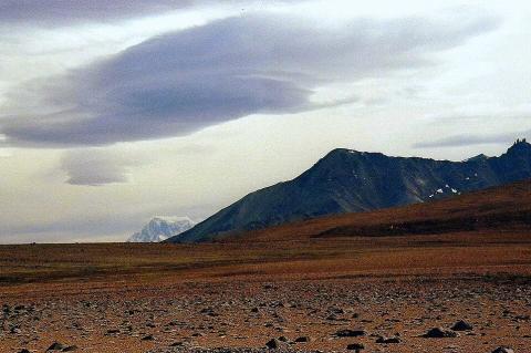
The Antarctic Plate, covering approximately 60.9 million square kilometers (23.5 million square miles), forms the tectonic foundation beneath Antarctica and the surrounding Southern Ocean. This massive continental plate exhibits unique geological processes operating under extreme polar conditions, ranging from subglacial volcanism to interactions between ice sheets and tectonics, while playing a crucial role in global ocean circulation and climate systems.

The Beni and Mamoré Rivers: Twin Headstreams of the Madeira

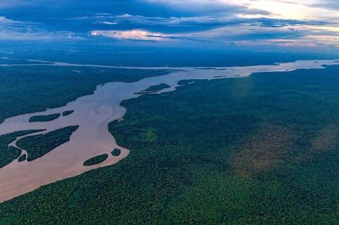
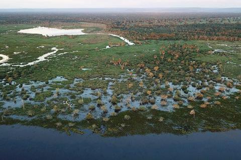
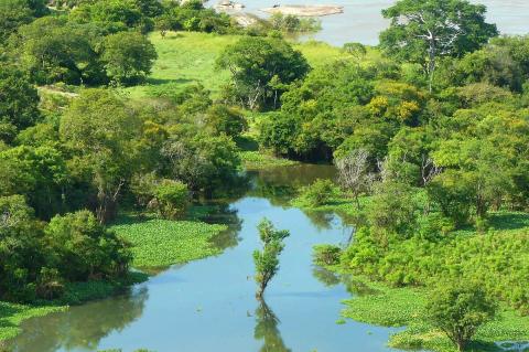
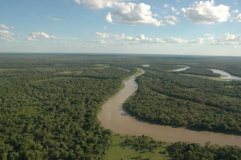
The Beni and Mamoré are the two great Bolivian rivers that meet at Villa Bella to form the Madeira, the Amazon's southern giant. The Beni descends from the Andes through Madidi and Pilón Lajas, while the Mamoré crosses the Llanos de Moxos, a Ramsar wetland of 6.9 million hectares (17 million acres). Floods, proposed dams, and mercury from gold mining now shape life along both rivers.
The Bermejo River: South America's Diverse Lifeline

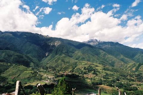
The Bermejo River, a crucial waterway in South America, traverses diverse landscapes across Bolivia and Argentina. In its upper course, the river is known as the Bermejo, but in its lower reaches, it transitions into the Desaguadero and later the Salado. Flowing from the Andes Mountains to its confluence with the Paraguay River, the Bermejo sustains ecosystems, supports human settlements, and plays an essential role in regional economies.
The Bolivian Andes: Exploring Nature and Civilization Across the Cordilleras

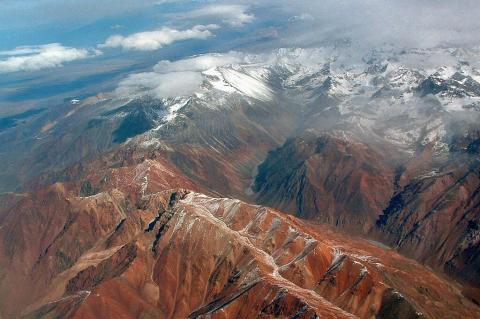
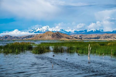
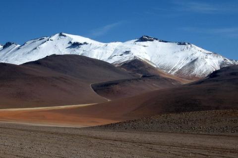
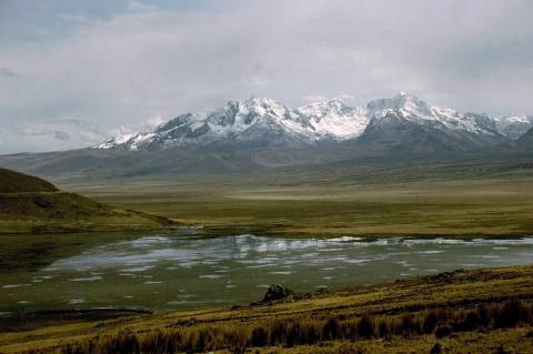
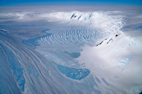
Stretching across the western portion of Bolivia, the Bolivian Andes are among the most captivating and formidable mountains in the world. Forming a vital segment of the Andes, they consist of two principal cordilleras, each with its own unique geographical, ecological, and cultural significance. These ranges are home to towering volcanic peaks, extensive glaciers, vast highland plateaus, and deep valleys that support diverse ecosystems and ancient cultures.
The Borborema Plateau: Northeast Brazil's Highland Between Coast and Sertão

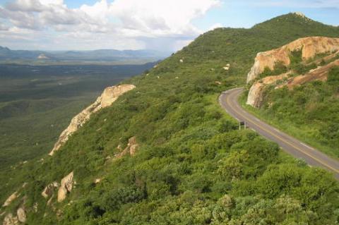
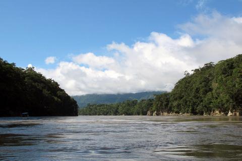
The Borborema Plateau of northeastern Brazil stretches about 400 kilometers across Alagoas, Pernambuco, Paraíba, and Rio Grande do Norte, with an average elevation near 500 meters. Geologists link its rise to the breakup of South America and Africa, and possibly to magma beneath a crust up to 35 kilometers thick. The plateau blocks moist Atlantic winds, leaving the sertão dry, while its humid brejos de altitude hold Atlantic Forest, and cities such as Campina Grande and Caruaru depend on its rivers.

The Brazilian Highlands: Geological Foundation of a Continental Giant

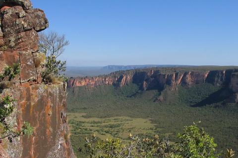
The Brazilian Highlands (Planalto Brasileiro) constitute South America's most extensive plateau system, covering approximately 4.5 million square kilometers (1.74 million square miles) and serving as Brazil's geological backbone. This ancient landform influences continental weather patterns, harbors critical biodiversity hotspots, supports over 190 million inhabitants, and provides the geological foundation for Brazil's emergence as a global agricultural and mining powerhouse.

The Callejón de Huaylas: Peru's Valley of Eternal Snow

The Callejón de Huaylas is a spectacular inter-Andean valley in Peru's Ancash region, stretching from Laguna Conococha to Cañón del Pato. Positioned between the snow-capped Cordillera Blanca to the east and the darker Cordillera Negra to the west, this fertile valley follows the Santa River and supports diverse ecosystems across multiple altitudinal zones. Home to traditional agricultural communities cultivating potatoes, maize, and barley, the valley serves as the gateway to Huascarán National Park and world-class mountaineering destinations.

The Casiquiare River: A Unique Natural Waterway Connecting Two Great Basins

The Casiquiare River, also known as the Casiquiare Canal, is an extraordinary natural waterway in southern Venezuela. As the only major river on Earth connecting two vast and distinct drainage basins, the Casiquiare is a rare and vital geographical feature. It links the upper Orinoco River, which drains into the Atlantic Ocean, with the Rio Negro, a key tributary of the Amazon River. This unusual bifurcation is a product of natural hydrological and geological processes, creating a unique passage between South America's two largest river systems.

The Chicamocha Canyon and National Park: Colombia's Natural Wonder

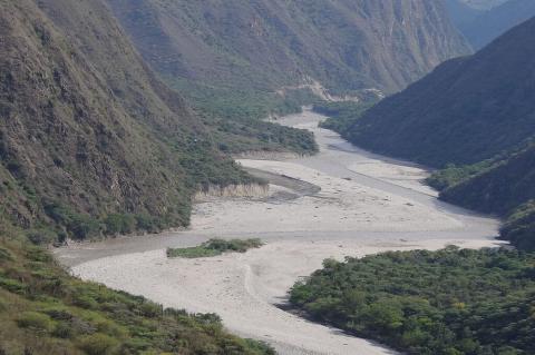
Nestled within the rugged Andes Mountains of northern Colombia, the Chicamocha Canyon is a testament to nature's awe-inspiring power and beauty. This colossal geological wonder, carved over eons by the relentless forces of the Chicamocha River, is among the largest canyons in the world. Encompassing a vast area, the canyon's immense depths reveal a breathtaking landscape of towering cliffs, winding rivers, and diverse ecosystems. Chicamocha National Park lies within the canyon.

The Chile Triple Junction and the Dynamic Taitao and Tres Montes Peninsulas

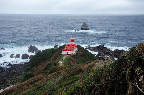
The Chile Triple Junction marks where the South American, Nazca, and Antarctic tectonic plates meet, with subduction and divergence. The Taitao Peninsula, extending westward, features diverse landscapes and significant ecological importance. The Tres Montes Peninsula, southwest of the main peninsula, adds unique vegetation and geological features. Together, they tell a captivating story of tectonic convergence, showcasing the Earth's ever-evolving geological saga.