
The Tapajós River: A Clearwater Giant Under Pressure
The Tapajós is a major southern tributary of the Amazon, formed in western Brazil where the Juruena and Teles Pires rivers meet, and flows about 840 km (520 mi) to Santarém. This article covers its clearwater ecology, dams, gold mining and mercury, soy barge traffic, and the Munduruku people who live along it.
The Tapajós River Basin: From the Mato Grosso Plateau to the Amazon
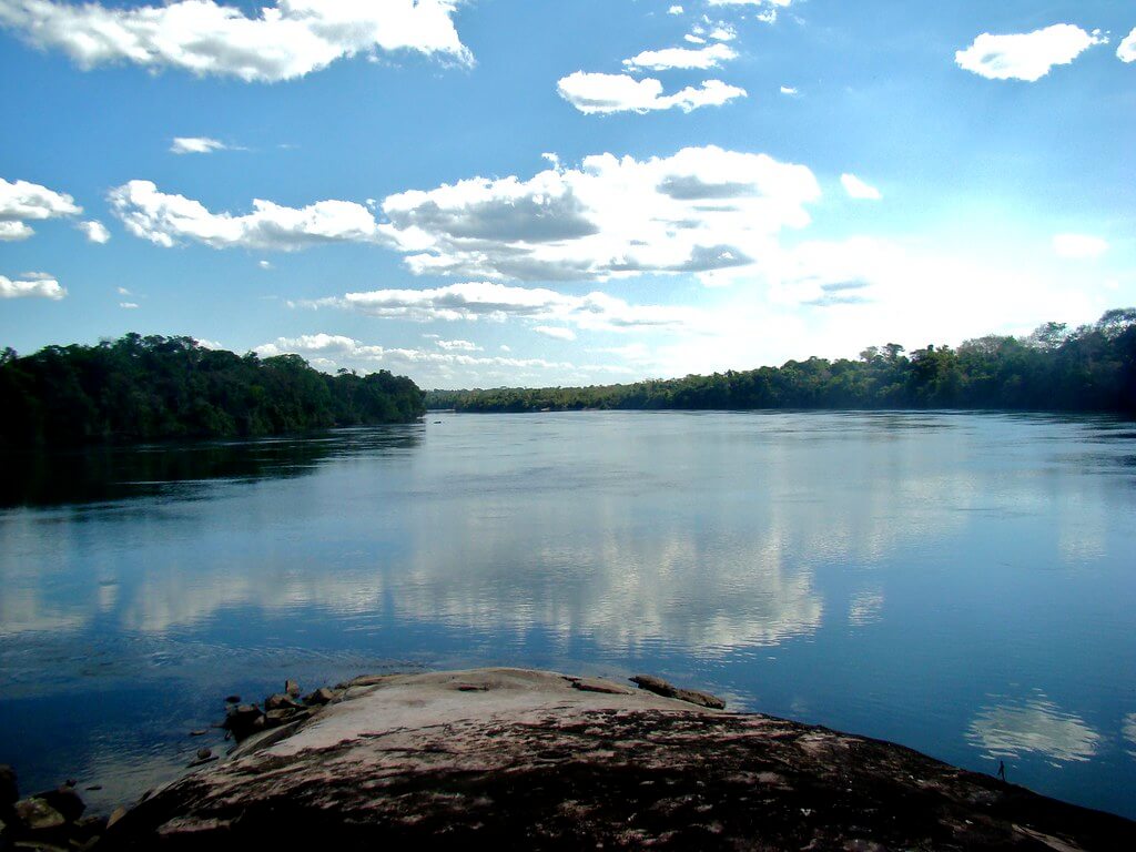
The Tapajós is one of the Amazon's largest tributaries and a major clearwater river. It forms in west-central Brazil where the Juruena and Teles Pires rivers meet, then flows about 840 km (520 mi) north and northeast across Pará to join the Amazon River at Santarém. Its basin covers roughly 494,000 km² (191,000 sq mi) of the Amazon's southern edge, where ancient crystalline rock, rainforest and the northern margin of the Cerrado meet. The river carries Indigenous homelands, some of the Amazon's most active gold-mining frontier, a rapidly growing waterway for soy and corn, and a long list of planned dams. This article follows the river from its headwater tributaries to its mouth and describes the pressures now reshaping it.
From the Plateau to the Amazon
The Tapajós proper begins at the junction of the Juruena and Teles Pires, at an elevation of only about 95 m (312 ft). From there it runs north through Pará, passing the mining and logistics town of Itaituba and the Amazônia National Park, and widens into a broad, lake-like channel before meeting the Amazon at Santarém. Measured from the Juruena's source, the combined system is about 2,080 km (1,290 mi) long and discharges an average of about 12,800 m³/s (452,000 cu ft/s) near its mouth. The main left-bank tributaries are the Juruena and the Arapiuns, and the main right-bank tributaries include the Teles Pires, Jamanxim, Crepori and Cururu.
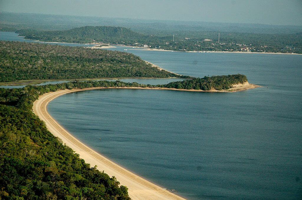
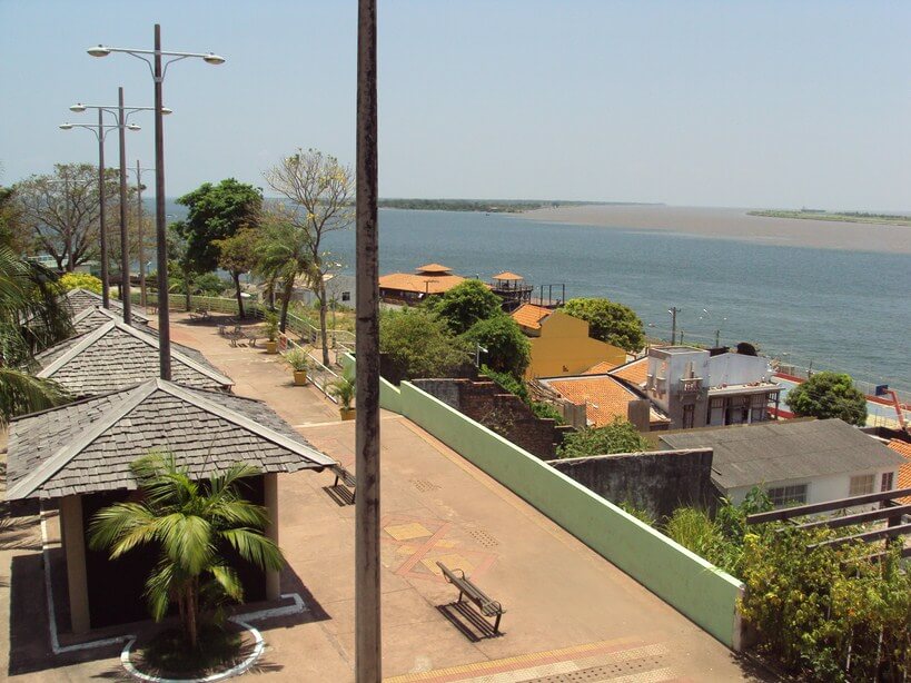
At Santarém, the Tapajós's clear, blue water runs alongside the pale brown, sediment-laden Amazon for kilometers without mixing, a spectacle locals call the meeting of the waters. Upstream from the city, the lower river is wide and navigable, and its beaches at Alter do Chão are among the best known in the Amazon.
A Clearwater River on Ancient Rock
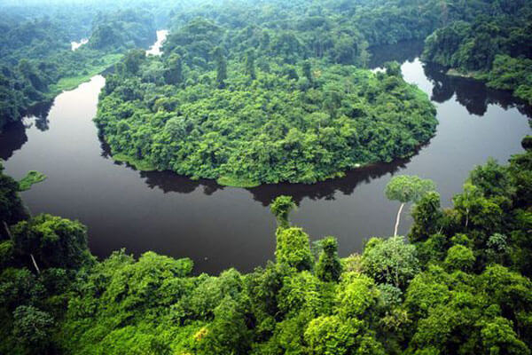
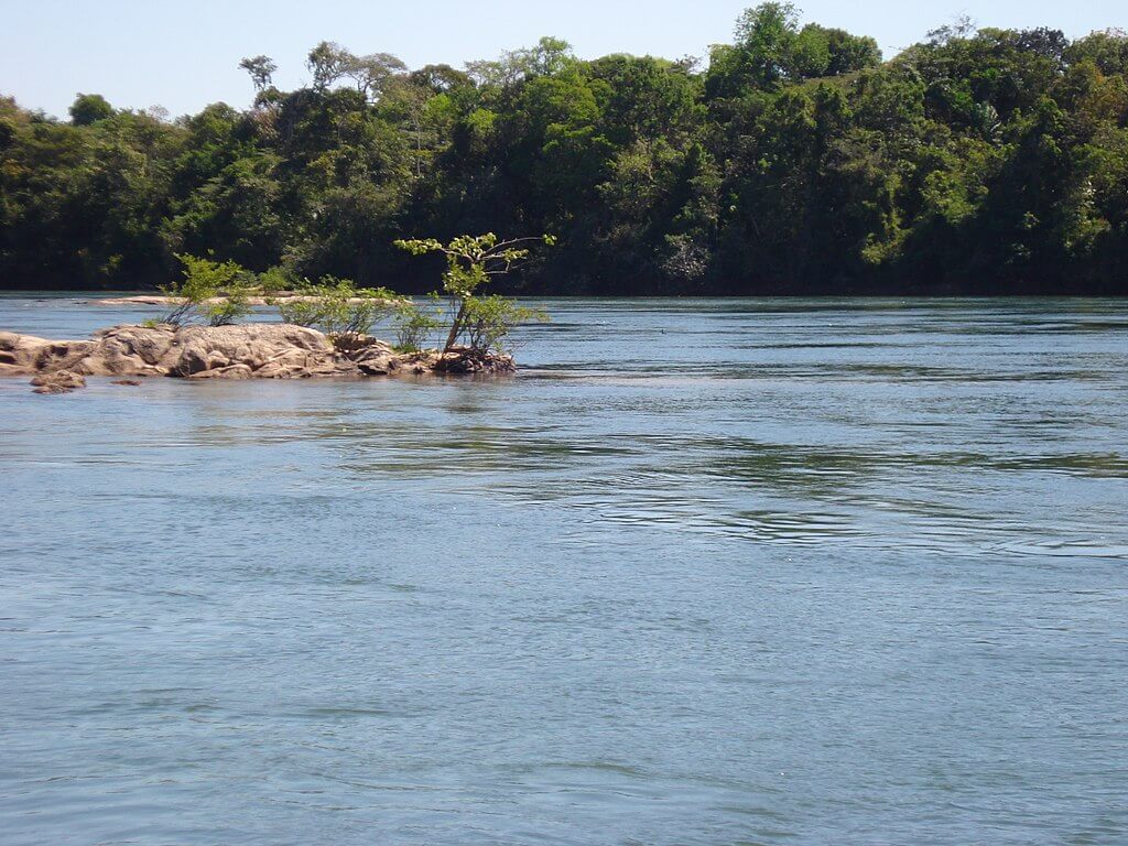
Unlike the Amazon, which carries sediment from the young Andes, the Tapajós drains the old crystalline rocks of the Brazilian Shield, which release little sediment and few dissolved nutrients. The result is the transparent, blue or green water that gives it the name "blue river" and allows its seasonal shores to form white-sand beaches. The river's level swings by about 4 to 5 m (13 to 16 ft) a year, flooding the lowland forest and stretches of white-sand forest called igapó along its banks in the rainy season. Where mining muddies the river in the upper and middle reaches, those clear conditions are being lost.
The Tapajós Basin
The basin lies mostly in Mato Grosso and Pará, with smaller parts in Amazonas, and covers roughly 6 to 8 percent of the Amazon Basin depending on how the larger basin is measured. Moist forest dominates the north, Cerrado savanna lies in the south, and seasonal forest of Mato Grosso fills the zone between them, so the basin forms a transition between the Amazon Basin and the Cerrado. Ichthyologists know this freshwater ecoregion for its isolation: nearly a quarter of its fish species occur nowhere else, mostly among the characins, armored catfishes, cichlids, and anostomids. Two single-species genera, the catfish Merodoras nheco and the armored catfish Spectracanthicus murinus, are endemic to it. Large predatory fish such as the peacock bass (Cichla species) and the pirarucu (Arapaima gigas) are important food fish for riverside communities.
The Teles Pires River
The Teles Pires, also called the São Manoel River, rises on the Mato Grosso plateau at about 750 m (2,460 ft) and flows about 1,370 km (850 mi) north, forming the border between Mato Grosso and Pará for its lower stretch. Its basin covers about 142,000 km² (55,000 sq mi). Over the past two decades, the river has become a hydropower corridor: the Teles Pires dam (about 1,820 MW), São Manoel (about 746 MW), Colíder (about 342 MW), and Sinop all stand on it or its tributaries, and the Tapajós waterway plan aims to link them with navigation locks.
The Juruena River
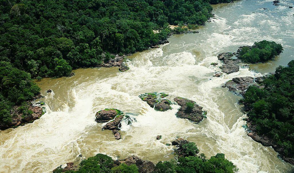
The Juruena rises on the Parecis plateau in Mato Grosso at about 653 m (2,142 ft) and flows about 1,240 km (770 mi) before joining the Teles Pires. For its last 190 km (120 mi), it marks the boundary between Mato Grosso and Amazonas. Waterfalls and rapids, including the Salto Augusto, make it unnavigable for most of its length, and Juruena National Park, Indigenous lands, and state parks protect parts of its basin along its course.
Protected Areas and Wildlife
The middle Tapajós is flanked by several large federal reserves. Amazônia National Park, created on February 19, 1974, straddles the river in the municipalities of Itaituba and Trairão and covers 1,070,737 ha (10,707 km², 4,134 sq mi) after reductions in 2012. Its dense lowland rainforest, with trees up to 50 m (164 ft) tall, shelters the giant otter (Pteronura brasiliensis), the Amazonian manatee (Trichechus inunguis), and the giant anteater (Myrmecophaga tridactyla). Illegal logging and mining pressure its eastern edge near Itaituba. Downstream, the Tapajós National Forest, the Tapajós-Arapiuns Extractive Reserve and the Alter do Chão Environmental Protection Area complete a patchwork of protected land around Santarém.
The Munduruku and the River
The Tapajós valley is the ancestral homeland of the Munduruku, whose territory, sometimes called Mundurukânia, overlaps much of the middle and upper river. The Munduruku have been among the strongest opponents of dams on the river. The most advanced of the large projects, the São Luiz do Tapajós hydroelectric plant, would have flooded part of the Sawré Muybu Indigenous Land, which the national Indigenous agency Funai recognized in April 2016. In early August 2016, the environmental agency Ibama canceled the licensing process after federal prosecutors argued that the project was unconstitutional because it would have forced Indigenous people to be permanently removed. The government's plans for the basin have at times listed dozens of additional dams, including the Jatobá plant, planned at 2,338 MW, though most of them are not built.
Gold Mining and Mercury
The most immediate threat to the river is illegal gold mining. Miners using excavators, dredges, and hand panning have cleared forest along the middle Tapajós and its tributaries, sent sediment into the river, and used metallic mercury to separate gold. Mercury accumulates in carnivorous fish, a main protein source for Indigenous and riverside families. A 2019 study by the Fiocruz public-health institute and WWF-Brasil in three Munduruku villages in Itaituba and Trairão found that about 58 percent of the 20 participants had hair mercury above the 6 µg/g safety threshold, and that all 88 fish tested, from 18 species, were contaminated. Preliminary results Fiocruz released in June 2025 found that 98.5 percent of 133 pregnant Munduruku women exceeded the 2.0 µg/g hair threshold, and that only two of the 70 infants assessed were within the safe range. The group will continue monitoring through at least the second half of 2026.
A Working Waterway
The Tapajós has also become a main export route for the "Arco Norte," the group of northern ports that move Mato Grosso's grain to the Atlantic. Trucks carry soy and corn up the BR-163 highway to terminals at Miritituba in Itaituba, where it is loaded onto barges bound for Santarém and the port of Barcarena. In 2025, the corridor moved a record 16.8 million tonnes, 14.3 percent more than the year before, with soy and corn making up about 88 percent of the total. Barge convoys can reach 36 barges and 110,000 tonnes.
The planned Ferrogrão railway would take the same grain by rail to Miritituba and extend that traffic. On May 21, 2026, Brazil's Supreme Court upheld the law that reduced Jamanxim National Park to make room for the line, but the justices stressed that this does not approve the railway itself. Ibama has not issued a preliminary license, and the federal audit court has recommended keeping the concession process suspended until a new public hearing is held. Indigenous leaders, including Munduruku representatives, oppose the project and say they were not consulted.
Conclusion
The Tapajós is at once one of the Amazon's clearest rivers, a homeland for the Munduruku and riverside peoples, a gold-mining frontier and a commercial waterway. Each role competes with the others, and the river's future depends on whether its clear water, its fish, and the people who rely on them can be protected as grain and energy projects continue to expand.