Peru

The Napo Moist Forests: A Biodiversity Hotspot in the Amazon Basin

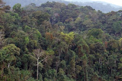
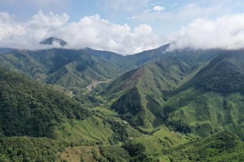
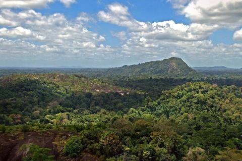
The Napo Moist Forests ecoregion, a lush and diverse expanse of tropical rainforest, is located in the western Amazon Basin, primarily within Ecuador and Peru, extending into southern Colombia. This ecoregion, known for its unparalleled biodiversity, encompasses a variety of habitats, from lowland rainforests to montane forests, supporting an incredible array of flora and fauna. The region's ecological significance and cultural heritage make research and protection vital.

The Nazca Lines: Mysteries of Ancient Peru

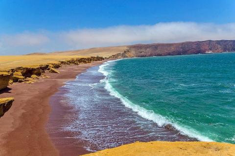
The arid plains of southern Peru, etched with a mesmerizing network of colossal geoglyphs, stand as a profound testament to the artistic and intellectual capabilities of the ancient Nasca and Paracas cultures. Stretching across the ochre-hued expanse known as the Nazca Desert, or Pampa Colorada (Red Plain), and extending into the neighboring Pampas de Jumana, these striking formations represent one of the world's most iconic and enduring archaeological enigmas.

The Pan-American Highway: Linking North, Central, and South America

Stretching from the frozen tundras of Alaska to the windswept landscapes of Tierra del Fuego, the Pan-American Highway is a testament to human ingenuity and the indomitable spirit of connectivity. This vast network of roads is one of the most extensive and ambitious transportation systems ever conceived, serving as a vital artery for trade, tourism, and cultural exchange across the Americas. Despite the monumental achievements of the highway, a formidable obstacle remains – the Darién Gap.

The Peruvian Andes: Peru's Sierra Region Where Earth Touches Sky

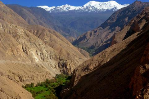
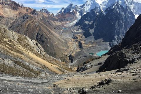
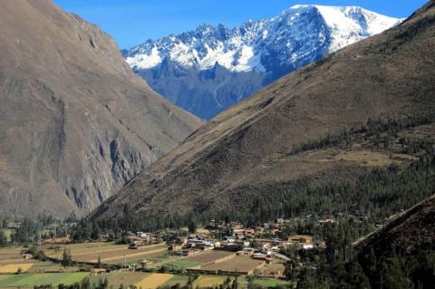
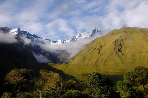
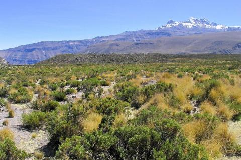
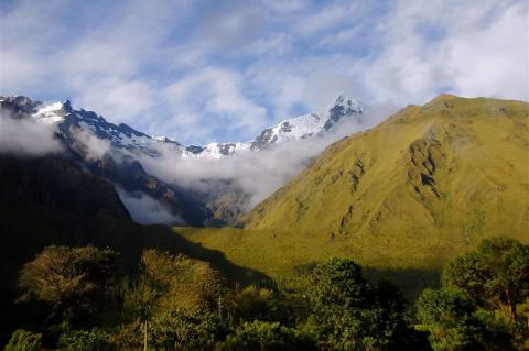
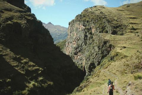
Rising from the Pacific plains to the Amazon Rainforest, Peru's Sierra is one of Earth's most spectacular mountain systems. This vast highland area, the Peruvian section of the Andes, runs through the country like a geological spine, influencing its landscape, climate, biodiversity, and cultural heritage. The region is mainly characterized by three main cordilleras, or mountain ranges, each with unique geological traits, climate conditions, and ecological systems.

The Putumayo River: A Shared Amazon Boundary from the Andes to the Içá

The Putumayo rises in the Colombian Andes and flows about 1,800 km (1,100 mi) across the western Amazon, forming a boundary between Colombia, Ecuador, and Peru before joining the Solimões in Brazil as the Içá. Its basin holds Yaguas National Park, Indigenous territories, a rubber-era history of atrocity, and growing pressure from gold mining and mercury.

The Qhapaq Ñan: Weaving an Empire Through Stone and Sky

Stretching across the spine of South America, the Qhapaq Ñan represents one of humanity's most ambitious engineering achievements. This network of pathways once carried the footsteps of llamas laden with precious cargo, alpacas bearing the finest textiles, and chasqui messengers racing between distant provinces of the vast Inca Empire. More than mere roads, these ancient highways served as the nervous system of Tawantinsuyu, the "Land of the Four Quarters," binding together a realm that spanned from the emerald depths of the Amazon to the windswept altiplano.

The Sechura Desert Ecoregion: A Realm of Unexpected Biodiversity and Coastal Contrasts

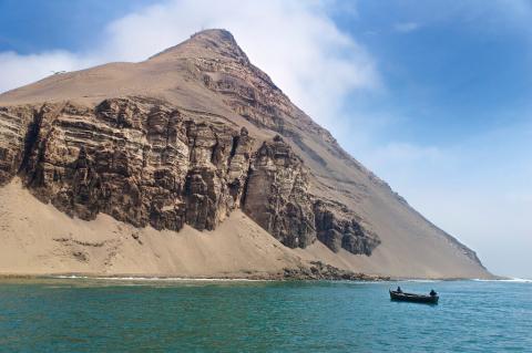
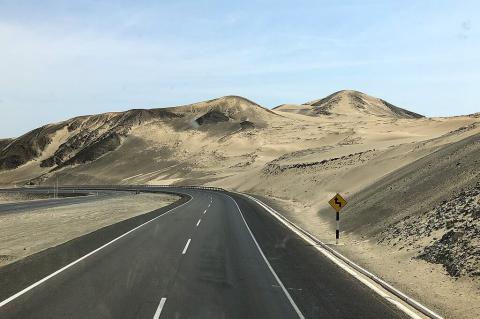
The western edge of South America, where the towering Andes meet the cool embrace of the Pacific Ocean, is etched with a series of arid landscapes. Among these, the Sechura Desert ecoregion stands out not merely as a barren expanse, but as a surprisingly dynamic and ecologically significant zone. Stretching along the northern coast of Peru and a small portion of southern Ecuador, this ecoregion reveals a unique interplay of hyper-arid conditions, unexpected biodiversity, and the intricate influence of the adjacent marine environment.

The Tropical Andes: Earth's Most Biodiverse Hotspot

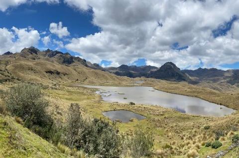
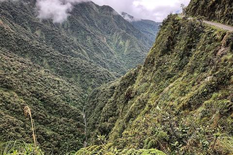
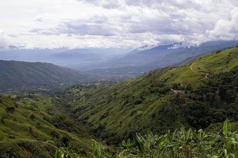
Stretching from western Venezuela to northern Bolivia, the Tropical Andes are one of the most remarkable places on Earth. This vast mountain system encompasses snow-capped peaks, verdant cloud forests, high-altitude grasslands, and plunging river valleys — all within a single continuous region. It is formally recognized as a Biodiversity Hotspot — and not merely one among many. By virtually every measure, the Tropical Andes ranks as the most biologically diverse hotspot on the planet.

The Tumbes-Piura Dry Forests: A Biodiversity Hotspot within the Tumbes-Chocó-Magdalena Region

The Tumbes-Piura dry forests ecoregion is nestled along the Pacific coast of northwestern Peru and southwestern Ecuador. This unique and remarkable ecosystem is part of the larger Tumbes-Chocó-Magdalena biodiversity hotspot. This ecoregion, often overshadowed by the more well-known tropical rainforests of the Amazon basin, is a biodiversity hotspot in its own right, harboring an exceptional concentration of endemic species and facing significant conservation challenges.

The Ucayali River: Where the Andes Become the Amazon

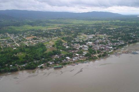
The Ucayali forms where the Tambo and Urubamba rivers meet at about 210 m (690 ft) in Peru's rainforest and flows about 1,770 km (1,100 mi) past Pucallpa before joining the Marañón to form the Amazon. Its floodplain shelters giant otters and manatees in Pacaya-Samiria, while the river faces a lapsed waterway concession, land trafficking, oil palm clearing, and dam plans in its Ene headwaters.