
Alter do Chão and Santarém: Where the Tapajós Meets the Amazon
Alter do Chão, a village 37 km from Santarém, is known as the "Amazon Caribbean" for the white-sand river beaches that appear along the Tapajós each dry season. This article covers its history, the Sairé festival, and the fires, drought, and land pressure now testing it.
Alter do Chão: Amazon River Beaches on the Tapajós
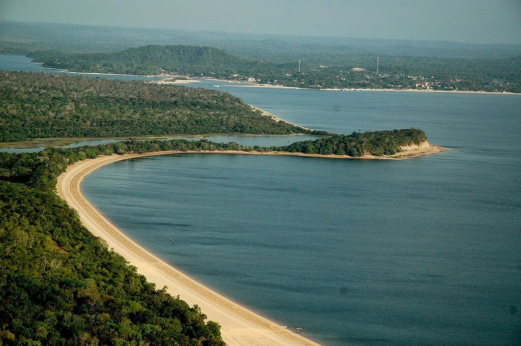
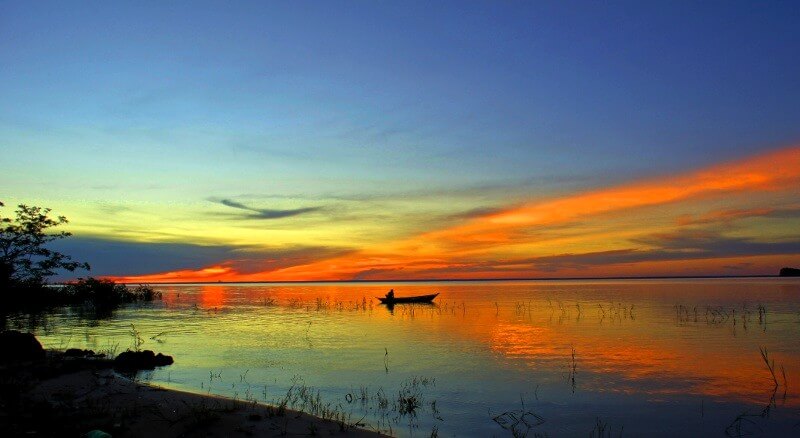
Alter do Chão is a village in the district of Santarém, western Pará, where the clear waters of the Tapajós River meet a white-sand shoreline and the Amazon forest. Each dry season, the river retreats, exposing long freshwater beaches that have earned the village the nickname "Caribe Amazônico," the Amazon Caribbean. It also has deep roots: a Borari settlement before the Portuguese arrived, a Jesuit mission, a river port in the rubber era, and home to the Sairé, one of the Amazon's oldest folk festivals. Today it faces the pressures common to the region, including drought, fire, and land speculation. This article describes the village, its river and forest, its history and traditions, and the nearby city of Santarém, which serves as its gateway.
A Village on the Tapajós
Alter do Chão lies on the Tapajós River about 37 km (23 mi) from Santarém's center. The paved PA-457 highway connects the two, and a car ride takes roughly 45 minutes, while a river trip takes about three hours. Santarém has daily flights, mainly from Belém and Manaus, so most visitors arrive through its airport. Despite its reputation as a remote destination, the village is therefore a short drive from a city of more than 300,000 people.
The Tapajós is one of the great southern tributaries of the Amazon. It runs about 840 km (520 mi) from the confluence of the Juruena and Teles Pires rivers to its mouth near Santarém, and its basin covers about 494,000 km² (191,000 sq mi). Its lower course is wide, slow, and clear, which sets the village apart from the muddy white-water rivers of much of the Amazon Rainforest.
Beaches That Come and Go
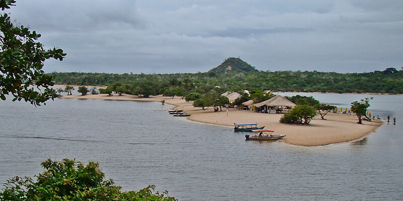
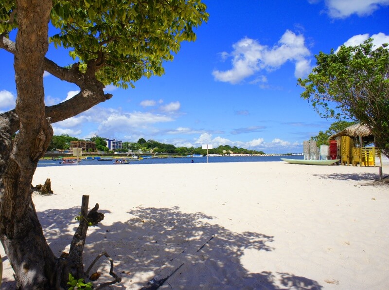
The river sets the place's rhythm. During the rainy months, the Tapajós rises, floods the lowland forest, and covers the beaches. As the water falls from roughly July or August through December, sandbanks emerge along the shoreline, and the village's best-known beaches take shape. Ilha do Amor, "Love Island," is the most famous: a shallow, clear, white sandy peninsula with a broad view across the river. Smaller beaches, such as Cajueiro, line the waterfront. Behind the village, Lago Verde is a clear lake ringed by forest, reached by trail or canoe, and the nearby "enchanted forest" can be explored by boat when the water is high. This seasonal cycle is the main reason visitors come between August and December, and it also makes the village so sensitive to changes in the river.
The Forest and Protected Areas
The village sits within a landscape of rainforest, flooded forest and secondary growth. To the south lies the Tapajós National Forest (Floresta Nacional do Tapajós), created on February 19, 1974, and covering 549,067 ha (5,491 km², about 2,120 sq mi). Its dense rainforest, seasonally flooded forest, and palm-rich open forest shelter Brazil nut trees (Bertholletia excelsa), kapok trees (Ceiba pentandra), andiroba trees (Carapa guianensis), and buriti palms (Mauritia flexuosa). Protected animals there include the jaguar (Panthera onca), the giant anteater (Myrmecophaga tridactyla), the giant armadillo (Priodontes maximus), the giant otter (Pteronura brasiliensis), and two spider monkeys, the white-bellied spider monkey (Ateles belzebuth) and the white-cheeked spider monkey (Ateles marginatus).
Across the river, the Tapajós-Arapiuns Extractive Reserve is home to about 27,000 people in 72 communities, including Kumaruara, Tupinambá, and Munduruku families who live by farming, fishing, and gathering forest products. The village itself lies in the Alter do Chão Environmental Protection Area (APA), a municipal designation that has never had a management plan, a gap that has become important in recent years. For the wider setting, see Amazônia.
A Journey Through History
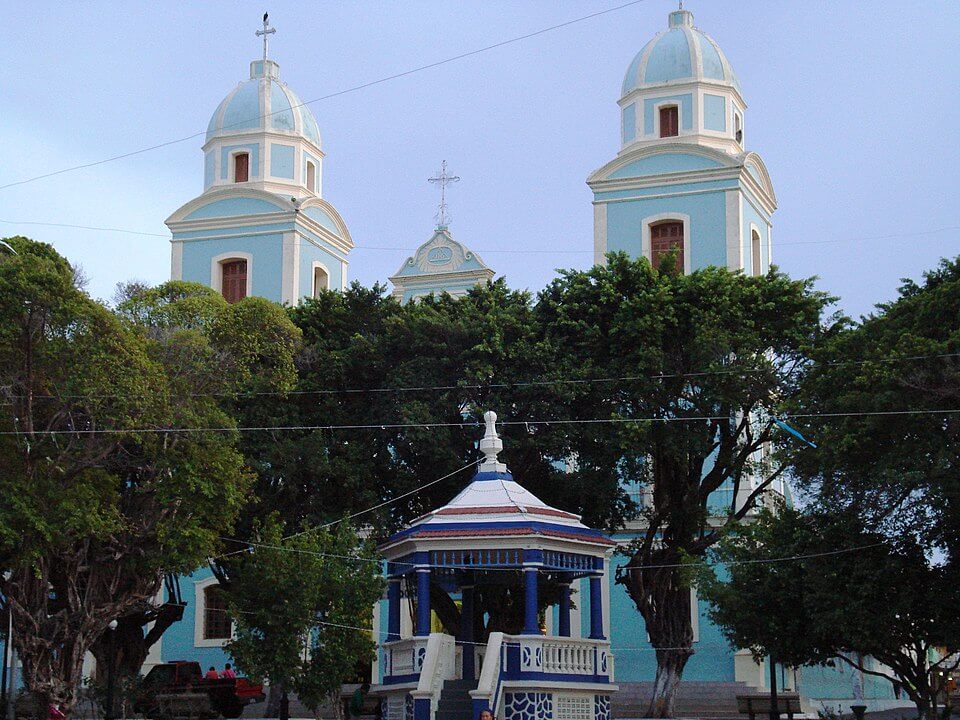
For centuries before European contact, the lower Tapajós was home to the Borari and related peoples, and the village area still yields their clay pottery and polished stone axes. Jesuit missions operated here in the 17th and 18th centuries, introducing the cult of Nossa Senhora da Saúde (Our Lady of Health), who remains the patron saint. Francisco Xavier de Mendonça Furtado, governor of the Captaincy of Grão-Pará, raised the settlement to the status of a vila on March 6, 1758, and named it after the Portuguese town of Alter do Chão in the Alentejo, as many colonial villages in the Amazon did under his administration.
In the early 20th century, the village served as a transport point for latex from the rubber estates at Belterra and Fordlândia, the plantations Henry Ford established along the Tapajós. The wider extractive economy declined from the 1950s, and for decades the village remained a quiet river community. From the 1990s, tourism became the local economy's focus as word spread about the beaches.
The Sairé Festival
The Sairé, also written Çairé, is the village's defining tradition and, by local accounts, one of the Amazon's oldest folk festivals. Held each September, it blends Catholic ritual introduced by the Jesuits with older Indigenous practices that honor nature. In 2025, the program ran from September 13 to 22, with the main events on the last five days. The ritual sequence includes the Folia do Sairé, the Ladainha, a procession around the festival mast, the raising and felling of the masts, and a thanksgiving rite known as the Cecuiara.
The festival also features a contest between two groups representing river dolphins: the Boto Tucuxi and the Boto Cor-de-Rosa, named for the tucuxi (Sotalia fluviatilis) and the pink Amazon River dolphin (Inia geoffrensis). The groups perform at the Lago dos Botos, and the winner is decided by a vote on the final day. The festival draws on Amazon dolphin legends and attracts large crowds, with attendance reported at about 100,000 people in 2019.
Santarém: The Gateway City
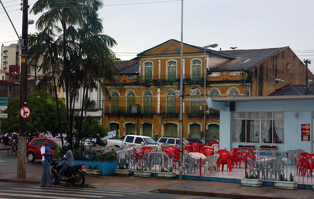
Santarém is the largest city in western Pará, with 331,942 residents at the 2022 census and a municipal area of about 22,887 km² (8,837 sq mi). It sits where the Tapajós flows into the Amazon, and there the two rivers run side by side for kilometers without mixing, the Amazon milky with Andean sediment and the Tapajós a deep, clear blue. A Jesuit priest, João Filipe Bettendorff, founded the settlement as the Aldeia do Tapajós on June 22, 1661. The city lies roughly 600 to 700 km (370 to 435 mi) from both Belém and Manaus, and its climate is tropical monsoon, with average temperatures of 25 to 28 °C (77 to 82 °F) and about 2,150 mm (85 in) of rain a year, falling mostly between November and July.
The regional economy rests on agriculture, cattle ranching and trade. Soy cultivation grew sharply after Cargill completed a grain export port at Santarém in 2003, and environmental groups have criticized the port for encouraging deforestation along the BR-163 highway.
The 2019 Fire and Land Pressure
In September 2019, a fire burned about 1,200 ha (12 km², 4.6 sq mi) of forest near the village, starting at three separate points inside an agroextractive settlement. In November 2019, police arrested four volunteer firefighters on suspicion of setting the fire. The men, who were working with local conservation groups, were released two days later because the accusations were considered weak, and in 2021 a federal court archived the investigation at the prosecutors' request because no one could be identified as responsible. The case became a national controversy about how fires and land conflicts are investigated in the Amazon.
Such events stem from steady pressure on the land. Federal prosecutors say the Alter do Chão area has faced land grabbing and speculation for years. In April 2025, the environmental agency Ibama carried out an operation that issued fines of more than R$1 million and embargoed over 1,000 ha (10 km², 3.9 sq mi). On December 15, 2025, federal prosecutors recommended that the Ministry of the Environment and ICMBio begin creating a federal conservation unit in the area, arguing that municipal protection has not been enough.
Drought and Tourism
The river itself has recently become a source of risk. In October 2023, the Tapajós fell to 94 cm (37 in) at Santarém, 38 cm (15 in) below the previous record drought level in 2010, as an intense El Niño dried much of the Amazon. Boats ran aground on sandbars that had never appeared before, fishing nearly stopped, and tour guides lost access to some of the best-known places. Some residents of riverside and Indigenous communities had to walk up to 1 km (0.6 mi) to reach water. Santarém declared a 90-day state of emergency on October 5, and Pará recorded more than 11,000 fires in October alone. In 2024, smoke blanketed Santarém and Alter do Chão for days, and local guides reported a drop of about 28 percent in tourist numbers.
The same dry season that creates the beaches can become a threat when it lasts too long and gets too hot. Researchers warn that overfishing in shrinking lagoons can affect fish reproduction for several years afterward.
Conclusion
Alter do Chão shows both the appeal and the fragility of the Amazon's river landscapes. Its beaches depend on a precise rhythm of high and low water, its festival carries centuries of shared Indigenous and Catholic tradition, and its forests face real competition from speculators and fire. Whether the village keeps its character depends on stronger protection of the surrounding land and on how the Tapajós itself responds to a changing climate.